Valmeyer Relocation Analysis
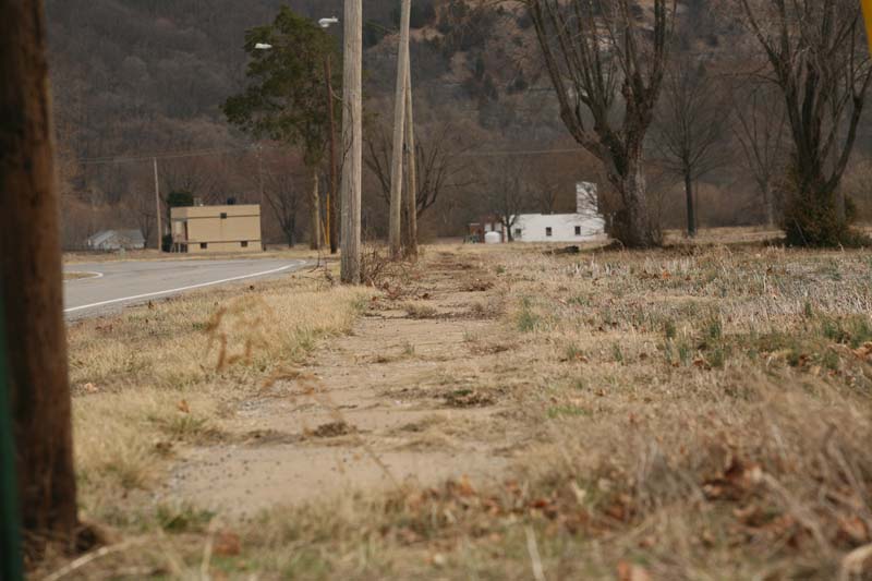
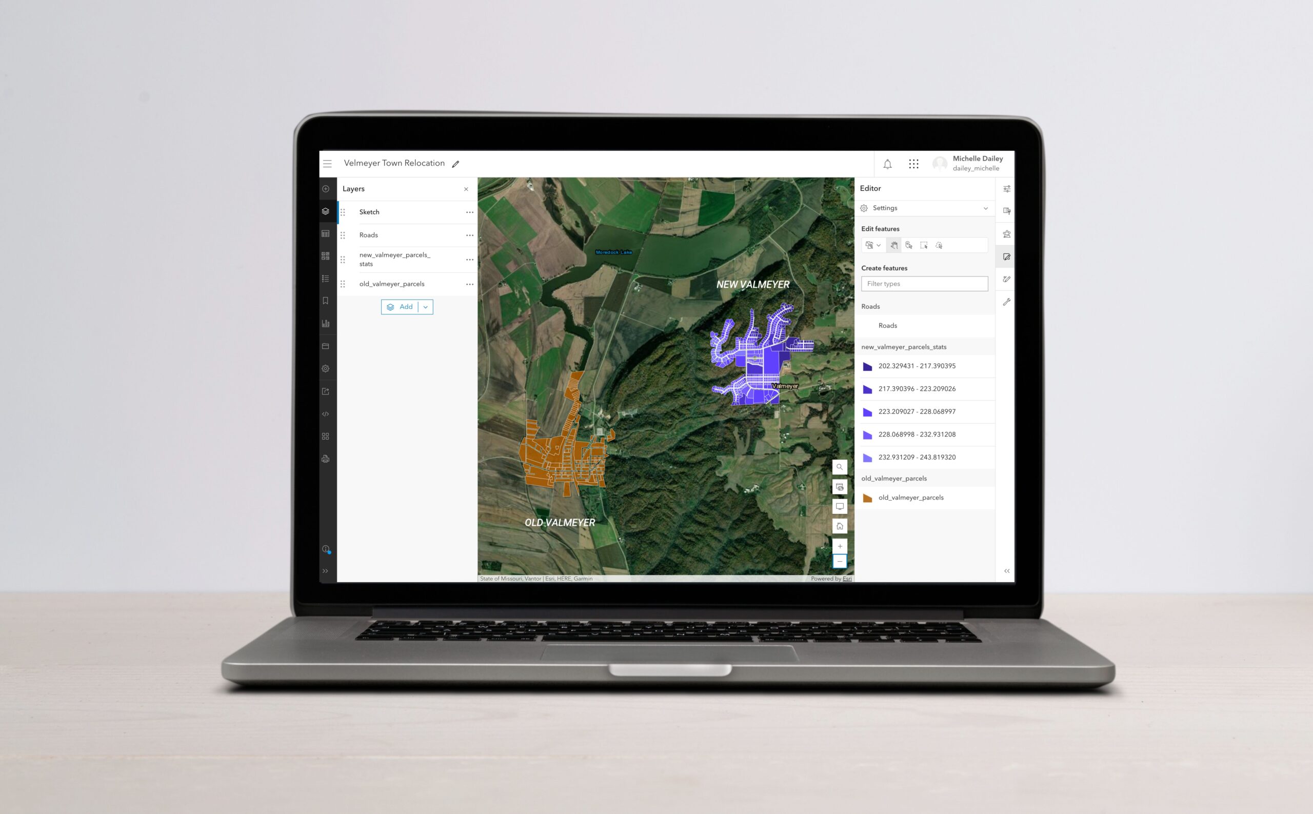
As part of my class on GIS Data Formats, Design, and Quality, I created an online web map to update parcel information and digitize new road layers for the town of Valmeyer, which relocated to higher ground to mitigate flood risks.
Tasks Involved
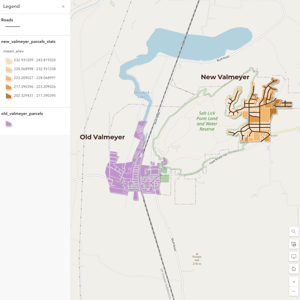
- Updating the new Valmeyer town location parcels with current metrics for elevation and slope.
- Calculating distances from the old town location to assist in disaster management analysis.
- Digitizing new road layers to aid emergency vehicle routing in the new town site.
The project was then shared via a publicly accessible web map on ArcGIS Online here.