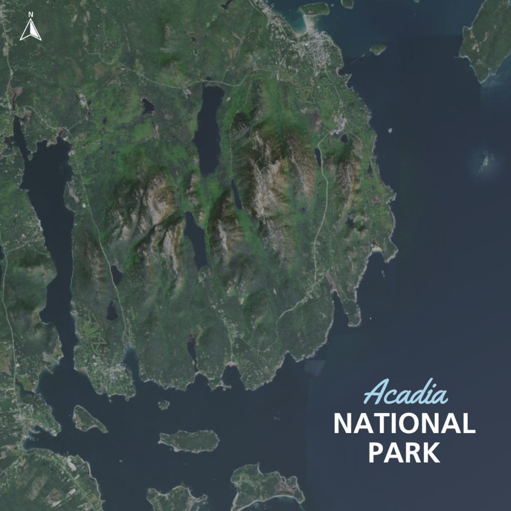
Inspired by a recent trip to Acadia camping with my family I wanted to make a elevation map that could tell a more accurate visual story about the mountains in and around the park than a standalone aerial. I downloaded a heightmap and an aerial image from here. I then imported the image and respective heightmap into Blender and made some adjustments to create the map.